


Event highlights: FOSS4G State of the Map
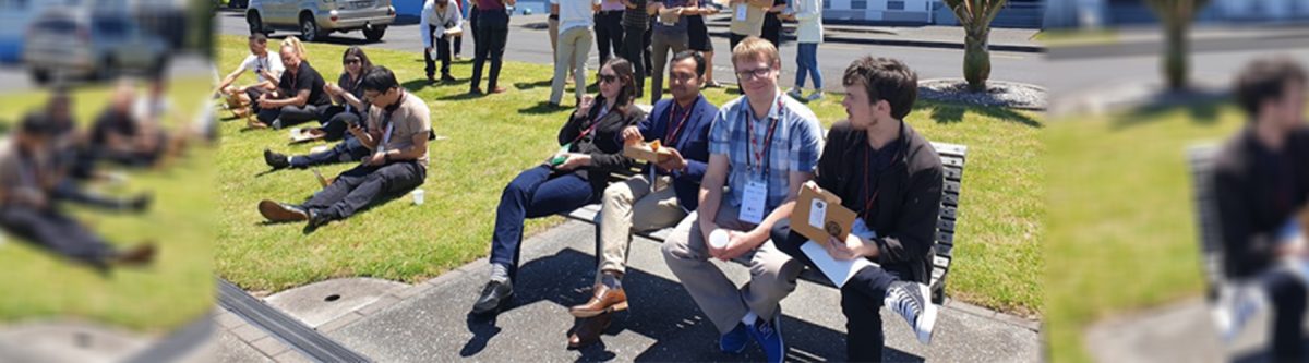
Last month, on behalf of LocationTech, I attended my first ever Free and Open Source Software for Geoinformatics (FOSS4G) State of the Map event at Devonport Navy Base in Auckland. As a lifelong user of Esri technology, this was a great opportunity to learn more about the geospatial open source community and the first conference I have physically attended this year. The event was well attended with over 60 delegates.
Following an official welcome from the New Zealand Defence Force, the first four presenters spoke before the morning tea break, then four more before lunch. As each presenter spoke and detailed their slides, it felt as though I was learning a new dialect! I have used QGIS many times, however I have not explored open source applications much further. I now had to ask myself what the heck is a GeoPanda and why do I need one?
For those, like me, who have not delved deeper into the open source world, Pandas is an open source data analysis library built for Python and GeoPandas an extension to Pandas to make working with geospatial data easier. This all makes sense once you understand it. However, I must admit to being confused at first and embarking on a steep learning curve.
After a pleasant lunch outside, chatting with other delegates taking in the Auckland city skyline we returned to the agenda. The afternoon session featured presentations streamed from across Oceania, to and from other FOSS4G conferences which were being hosted simultaneously. Despite the current pandemic travel limitations, it was a great way to share the event with others in the region.
As the conference drew to a close, I began reflecting on my own geospatial experience and how it may have differed from others in the conference. The fundamental difference between open source users and commercial users of geospatial software seems to me to be a mix of economic and philosophical belief.
For some, it seemed the choice is purely economic, the software is free after all and represents a potentially cheaper way to access geospatial software. However, the lack of formal support and development of open source software does present a risk for a business which needs to be managed and mitigated.
Perhaps more importantly, is the philosophical belief in the open source community itself and the values that the community stands for. It is the lack of a vendor and the underlying vendor’s ownership of IP that attracts some while others want to be engaged in the community itself and enjoy giving back and helping others.
Regardless, it was clear to me that open source software provides many with the tools they need to be able to deliver projects and the open source geospatial community is alive and well in New Zealand.
Meanwhile, LocationTech is vendor and software agnostic, we simply want to help the industry grow and be successful regardless of the tools used. I certainly left the conference with a far greater understanding of the open source community and the software tools that are available. Next time someone mentions pandas, I’ll be thinking Giant or Red or Python.